
Our Services

Drone Photogrammetry & Aerial Mapping
Transform your job site into highly accurate, actionable spatial data. We capture high-resolution aerial imagery to generate precise 2D orthomosaics, 3D models, and topographic maps. Skip the slow, manual ground surveys and safely monitor project progress, track volumetric stockpiles, and verify site conditions from every single angle.

Real Estate Photography & Videography
Showcase your listings from the ultimate vantage point. We provide strictly aerial, high-definition photography and 4K video tours designed to highlight property boundaries, roof conditions, and neighborhood proximity. Perfect for large lots, luxury estates, and commercial listings that demand an elevated perspective to stand out on the MLS.

Event Photography & Videography
Capture the true energy and massive scale of your event from above. We provide dynamic 4K drone videography and stunning aerial photography for weddings, concerts, festivals, sporting events, and corporate gatherings. Show off your crowd size, highlight your venue’s layout, and get high-impact promotional media that drives future ticket sales.
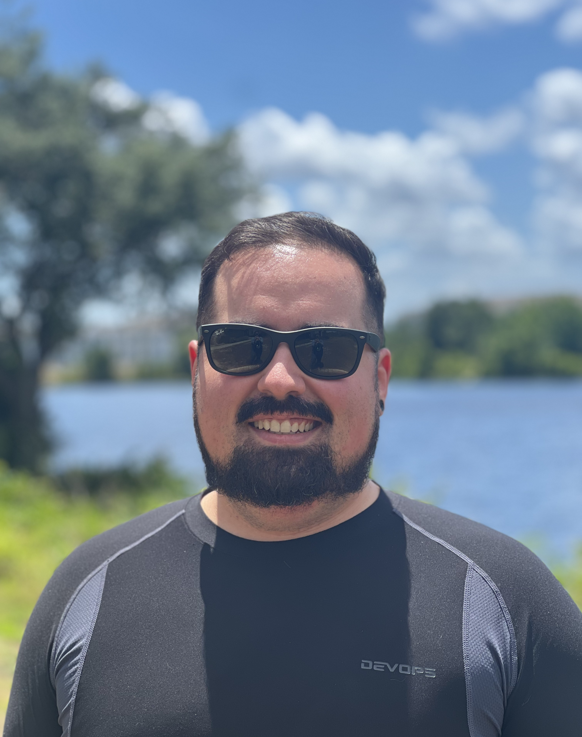
About Spectre Industries
Spectre Industries is a Florida-based drone services company specializing in photogrammetry, aerial mapping, and construction progress monitoring.
Founded by Tyler Martin, who brings over 10 years of technical and telecommunications field service experience, Spectre Industries delivers accurate aerial data and reliable insights to support construction, development, and infrastructure projects.
We are committed to precision, exceptional service, and helping our clients make informed decisions with confidence.